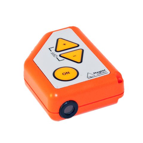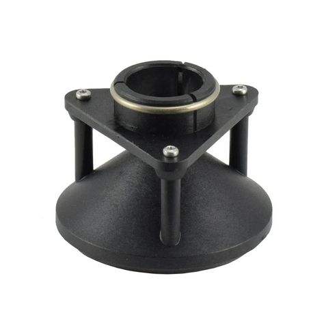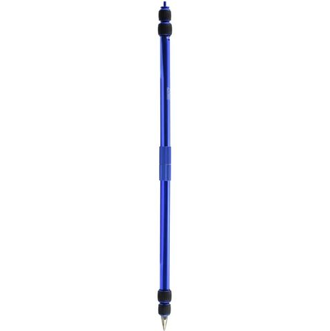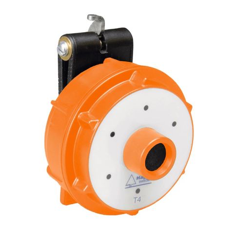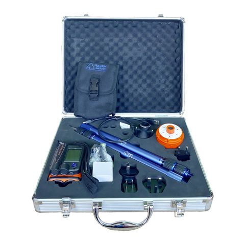
Haglof Vertex Laser Geo 2 kit inc 360° Adaptor, Transponder & Stick
Description
Haglof Vertex Laser Geo 2 Complete Kit
Introducing Vertex Laser Geo 2 The Vertex Laser Geo 2, a hand held long-range and ultrasonic rangefinder with high precision.The instrument offers numerous possibilities and functions and is filled with advanced multi-sensor technology and is fully programmable. |
- High Precision
- User friendly
- Rugged, All-in-One instrument
- Combined Laser and Ultrasound technology
- Different software available
- Customized Software available on request
Whether you’re in industrial settings or exploring the great outdoors, Vertex Laser Geo 2’s cutting-edge capabilities and programmability make it the perfect tool for any task. Elevate your measurement accuracy and efficiency with Vertex Laser Geo 2 today! |
Features & Benefits
| The Vertex Laser Geo 2 stands out with its unparalleled ability to measure heights and distances, as well as map, process, and store forest and field data in innovative ways. Its groundbreaking feature of measuring diameter at various distances and heights is particularly noteworthy. Whether you’re taking long-range measurements with high-precision lasers or dealing with shorter distances using Ultrasound in dense undergrowth, the Vertex Laser Geo 2 handles it all seamlessly. The integrated tilt and compass sensors ensure accurate 3D measurements. Results are conveniently shown on an internal heads-up display and an external graphic display. |
Remote DiameterMeasure a diameter from a distance and at any height, just turn the instrument 90 degrees clockwise and adjust the sight to the diameter. The diameter and height are displayed in both the heads-up display and the side graphical display. |
You can select between two measurement sights: either two vertical lines or a single horizontal line.
←CLICK THESE PHOTOS FOR A VIDEO ON HOW THIS FEATURE WORKS |
 |  |
3D VectorThe 3D Vector function allows you to measure remote targets such horizontal distances and angles between two points far ahead in the terrain such as canopy width or width of a river. | Tree heightsSelect from 3-point, 2-point, or 1-point measurement modes, or use direct measuring by navigating through the user-friendly menu system. The non-magnifying dot sight assists in pinpointing specific targets like tree tops and power lines. Additionally, with the Vertex Laser Geo 2, you have the option to use Ultrasound for measuring distances in areas with dense vegetation and heavy undergrowth. |
 |  |
Map TargetUse built in GPS to walk and log an area. Or stand in the middle of the area and use the built in GPS, Compass, Laser and measure the points on the border of the area. See results directly in Google Earth or other similar geographic applications. | Line ClearanceHazard treesLine Clearance function.
|
 |  |
Minimum DistanceThe MIN. DIST. function can calculate the shortest distance from, for example, a tree branch to a power line. This function is particularly useful when measuring is challenging due to vegetation and terrain profile, making it hard to determine where to aim on the power line for an accurate measurement. | Sample plotsWhen using ultrasound and the center plot stick with the 360° adapter in the center of a sample plot, you can easily measure the distance and check if the trees on the plot are within the correct radius to be measured. Sample pointsReverse Prism: Avoid many issues of traditional prism cruising, such as blocked views from the plot center. The BAF function allows you to use the Vertex Laser Geo 2 on a sample plot. By setting the desired BAF factor from 0.0 to 999.9, the Vertex Laser Geo 2 will then calculate the minimum diameter of a tree to be included in your sample plot. |
 |  |
Log Pile VolumeThe Log pile can be divided into several sections during measurement. The sum of the sections is then the total length of the pile. Measure and record pile width, range and wood volume factor for each section. The volume is calculated by section number, number of heights, calculated average height, and volume for each section. The result includes the calculated average width of each section, the calculated average height of all measuring points, and the default wood volume factor for each section. | Woodchip or gravel pilesThe 3D PILE software is useful for measuring different types of piles and rollers. Measure the pile from different sides to create a three-dimensional image of the object. The instrument saves heights and coordinates for all measurement points. Data is stored in (csv) and (kml) formats and can be opened directly in Google Earth! The instrument can also be used to calculate 2D areas (area), such as clearcuts, industrial sites or the inside of a building. |
Vertex Laser Geo 2 |
|
| Size | 93x63x72mm/3.7×2.5×2.8” |
| Weight | 243 g/8.6oz. |
| Battery and consumption |
|
| Communication |
|
| Temperature | -20° to +45° C/ -4°F-113°F. |
| Height | 0-999 m/ft. Resolution height: 0.1 m/ft. |
| Angle | -90° – 90°. Unit: Degrees 360⁰, Grads 400⁰ and %. Resolution: 0.1⁰. Accuracy: 0.1⁰ typical. |
| LASER |
|
| ULTRASOUND |
|
| Areal |
|
| Remote diameter |
|
| GPS |
33-channel high sensitivity receiver. Supports GPS, Glonass, Galileo, QZSS. Built-in real tme correction w SBAS (EGNOS, WAAS, MSAS, GAGAN) Accuracy down to 2.5m/8.19ft in open terrain. Satellite position prediction for up to 3 days. Host Based multi-global navigation satellite system GPS(USA)/GLONASS(Russia)/Galileo(EU)/QZSS(JAPAN) SBAS Satellite-based augmentation systems: WAAS(US) EGNOS(EU) GAGAN (India) MSAS(Japan). Built-in self-generated orbit prediction (Faster TTFF up to 3 days), built-in jamming removing. Accuracy: Automatic position 2.5m CEP (circular error probable) (50% 24 hr static, -130dBm. Speed 0.1m/s (50%@30m/s. |
| Compass | Azimuth compass 0-360˚, resolution 0,1˚, accuracy <1.5 RSME˚. |
| Classification | MIL-STD-810E. Housing frame material glass filled poly carbonate, IP67, NEMA6, Laser class 1, 7mm (FDA, CFR21) Class 1m (IEC 60825-1:2001). |
| Sight | Dot aim 1 x magnification and (HUD) Head-up-display. |
| Display | External Graphic LCD 100x60pixles. Internal (HUD) Head-up-display. |
| Dataformat | Nmea or Ascii. IR, Bluetooth. |
| File Format | CSV and KML (Google Earth). |
| Memory | 2000 datasets, non-volatile. |
| Other information | Adapter and monopod staff, 4-parts (33-140cm) Aluminum transport/storing case. See user manual for more details. |
Transponder T4 |
|
| Size | Diameter 70 mm/2,8” |
| Weight | 85 g/5 oz (Incl. Battery) |
| Battery | 1 ea AA 1.5V alkaline battery necessary for T4 |
| Power consumption | 9mW |


